
Define the output before discussing the aircraft. A topographic survey may require an orthomosaic, which is a stitched aerial image corrected so distances and positions are more consistent across the surface. It may also require a digital surface model, a three-dimensional representation that includes ground, buildings, equipment, and vegetation visible from above. For a quarry, the useful result could be a terrain model and volume calculation. For a solar project, it might be a visual record of panel rows, access roads, and surrounding obstacles. Each purpose calls for different flight planning and processing.
Accuracy depends on more than the camera. Ground sample distance, or GSD, describes how much ground each image pixel represents. Smaller GSD can reveal finer details, but it usually demands a lower flight, clearer imagery, and more processing. Ground control points are marked locations whose surveyed coordinates help align the model to a known reference system. RTK and PPK are positioning methods that can improve the drone’s location data during or after the flight. Ask which method is proposed and whether the accuracy statement applies to the complete map, not merely the aircraft’s navigation.
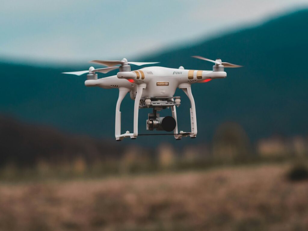
The site itself should guide platform selection. A multirotor can be useful where takeoff space is limited and repeated close inspection is needed, while a fixed-wing aircraft may suit larger areas that require longer coverage. LiDAR uses laser pulses to measure distance and can help describe terrain where ordinary photographs have difficulty separating surfaces, though it requires suitable equipment and processing. Photogrammetry builds measurements from overlapping images. Neither method is automatically right for every assignment, so compare the terrain, area, vegetation, weather, and level of detail before accepting a standard package.
Consider how the data will be used after the flight. On a road or infrastructure project, repeatable routes can help compare current conditions with earlier captures, provided the dates, camera settings, and coordinate system are documented. During construction, a 360-degree tour may help remote reviewers understand site context, while an orthomosaic supports measurements and drawing overlays. For oil and gas facilities or solar installations, thermal imagery can show temperature differences that deserve closer inspection, but it is not a diagnosis by itself. A qualified reviewer must interpret unusual readings alongside visual evidence and operating conditions.
Provider evaluation should focus on process, not only sample images. Ask who plans the mission, checks weather and airspace constraints, manages ground control, reviews image quality, and secures the files. Confirm whether you will receive raw images, edited photographs, point clouds, CAD-ready files, web maps, or a written inspection report. A provider familiar with aerial mapping services may still need a separate specialist for engineering verification or thermal analysis. Request a sample deliverable that resembles your project, with sensitive information removed, and agree on revisions before the flight.
The practical choice is the approach that matches the decision, site, and evidence required. For a small building inspection, clear photographs and a defect log may be enough. For a large mining area, repeatable mapping with control points and volume analysis may justify more planning and processing. Include permissions, site safety, privacy, data retention, and weather contingencies in the scope rather than treating them as afterthoughts. Compare proposals by deliverables, stated accuracy, turnaround, review responsibility, and total cost. That makes drone surveying a measured project tool instead of an attractive collection of aerial images.