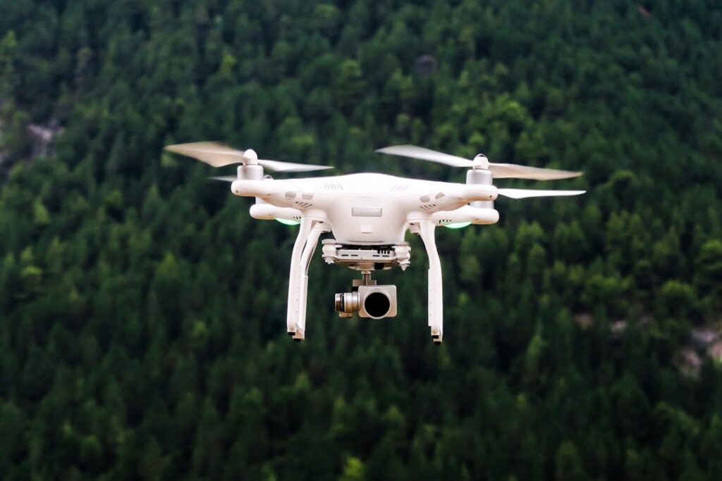

Drones have also reshaped aerial cinematography. Filmmakers can now shoot from angles that previously demanded cranes or helicopters. This flexibility lets them capture dynamic shots that add depth to storytelling. Aerial footage from drones is especially popular for marketing campaigns where dramatic visuals matter. Operators often tailor flight paths carefully to capture the right light and composition in one go, saving hours in post-production. Unlike static shots, drone footage can move smoothly over complex environments, giving viewers a better sense of scale and space.
Inspection tasks benefit significantly from drones as well. Utility companies inspecting power lines over long stretches face logistical challenges sending people on foot or with vehicles. Drones equipped with thermal or high-resolution cameras detect faults like overheating joints or corrosion without exposing workers to hazards. This approach speeds up routine checks and helps spot problems before failures occur. It’s common practice for inspectors to compare drone images across time periods to track deterioration trends, which guides maintenance scheduling more effectively. The cost savings come from fewer personnel hours and less downtime.
Flexibility is one of the strongest points of drone surveys. Because drones don’t require the same safety gear or permits as people do for certain sites, deploying them can be faster and cheaper. Providers often customize equipment and software settings to match project needs. For example, agricultural operators use drones programmed to scan crop health indicators such as leaf color or moisture stress over wide fields. These flights generate data that farmers convert into actionable plans for fertilization or irrigation adjustments. It’s a shift from guesswork to targeted intervention that improves yields.
Choosing a drone service means looking beyond basic mapping. Some companies offer aerial filming alongside inspections or specialized surveys tailored to industry rules. Having all these capabilities under one provider reduces hassle by cutting down on coordination between vendors. It’s wise to ask about the provider’s experience with your specific sector and what technologies they use, such as LiDAR sensors or multispectral cameras. Also, clarify how they handle data delivery, whether through raw files, processed reports, or interactive models, as this affects how smoothly your team can work with the results.
Keeping up with UAV technology is practical too. Following updates from industry sources helps you spot new tools or methods that could suit upcoming projects better. For instance, recent advances have improved drone battery life and image processing speed, meaning longer flights and quicker turnaround times are now possible. Staying informed also helps in understanding regulatory changes that might influence where and how drones can operate safely and legally.agricultural monitoring techniques provide valuable insights into one of the fastest-growing drone applications. Learning about these techniques offers ideas on how drone data can support decision-making beyond construction or inspection.
A good drone service provider will listen closely to your project’s requirements and suggest solutions that fit rather than forcing a one-size-fits-all package. They should be transparent about limitations too, like weather conditions that affect flight schedules or areas where drone use is restricted by local laws. Experienced teams often incorporate contingency planning to handle these challenges without derailing timelines.
In practice, many clients find it helpful to request sample reports or past project references before committing. This step reveals the provider’s attention to detail and reliability in delivering usable data. It’s also common to establish clear communication protocols upfront, such as regular progress updates and review sessions, ensuring everyone stays aligned throughout the project.
Ultimately, picking the right drone survey service comes down to matching their capabilities with your needs while considering practical factors like cost, turnaround time, and data usability. Drones offer speed and precision but only if integrated thoughtfully into your workflow.