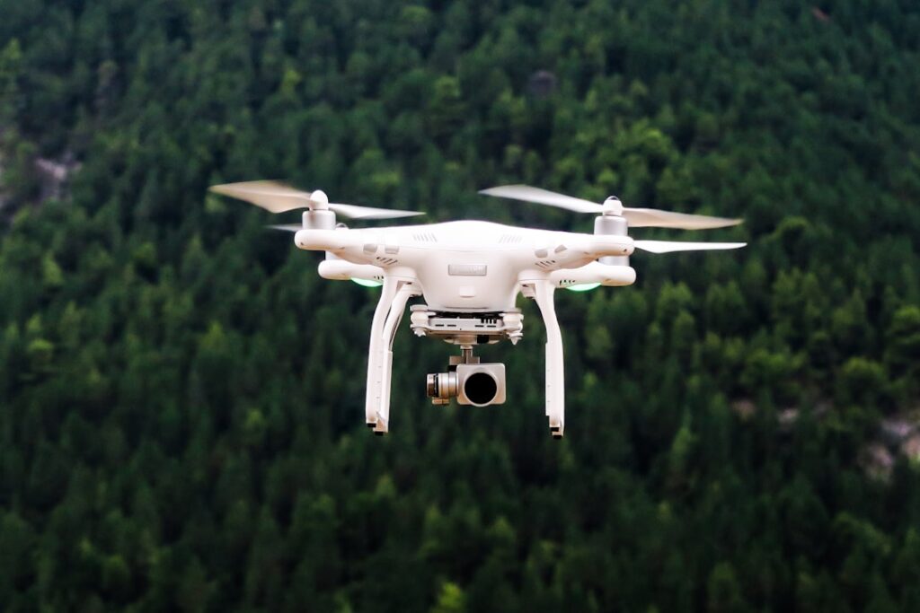

Before every flight, thorough pre-flight checks are non-negotiable. Skipping steps like battery health verification, GPS signal strength testing, and camera calibration often leads to mid-mission failures or unusable footage. Experienced pilots keep a checklist nearby, including firmware updates review and propeller condition checks. These steps prevent surprises and avoid costly downtime.
Surveying land with drones offers precision that traditional ground methods struggle to match. For real estate developers, UAVs can produce detailed topographic maps showing elevation shifts and natural features. Drones equipped with LiDAR sensors go further by penetrating tree canopies to detect hidden structures or uneven ground beneath dense foliage. This data supports smarter design choices and reduces guesswork when planning infrastructure.
Inspections benefit significantly from drone technology, especially in hard-to-reach places. Utility companies inspecting power lines over rugged hills can send drones instead of crews, avoiding the dangers of steep climbs or unstable terrain. Thermal cameras mounted on drones reveal hotspots along electrical lines that might signal faults before they cause outages. This approach speeds up maintenance cycles and keeps workers out of harm’s way.
Regulations around drone flights vary widely depending on location and airspace classification. Operators must secure appropriate permits, file flight plans if required, and stay updated on temporary flight restrictions around airports or sensitive areas. Ignoring these rules risks fines and operational delays. A common misstep is neglecting to check local NOTAMs (Notice to Airmen), which can temporarily restrict drone flights without obvious public alerts.
As you consider deploying commercial drones for your projects, remember that each use case demands specific hardware and software configurations. Artrabia develops tailored drone solutions that address unique challenges, whether improving aerial filming stability or integrating specialized sensors for industrial inspections. Their design process includes field testing to verify reliability under real-world conditions.
Technology in this space evolves fast. Battery improvements extend flight times beyond what was common a few years ago, while AI-powered analytics now help automate defect detection from collected data. Staying current with these advances enables businesses to refine operations continually. For detailed information on how UAVs can support your work, visit drone application strategies.